I was not correct in my wind prediction for yesterday, as we had SE winds instead of NE winds. I was correct however in prediciting similar temperatures and no snow. This morning we had a light snow shower which gave us just a trace of snow. The current temperature is 32 degrees F with overcast skies, and light south winds from the high pressure system to the SE of us. After taking a look at the forecasted surface map, tomorrow the center of a low pressure system will be right over us. The rising air in a low pressure center favors the development of clouds and precipitation, so cloudy weather and warmer temperatures are very likely tomorrow. Weather.com has indicated our area is in a Winter Storm watch beginning tomorrow night, so that is when the snow is predicted to start.
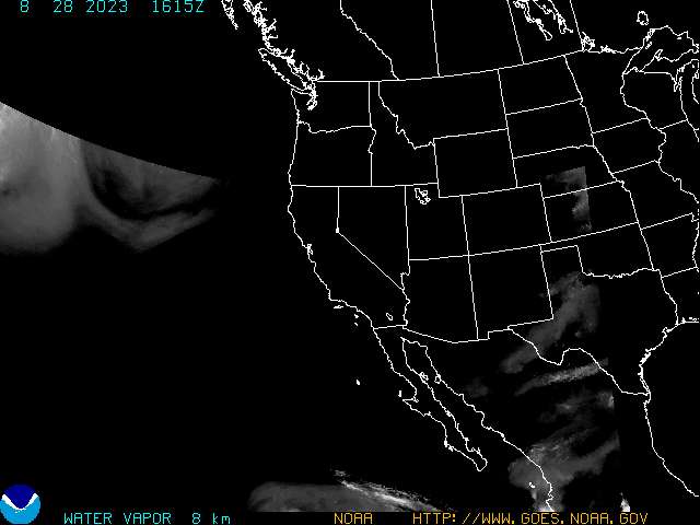
This is the water vapor map of the western U.S. There is an obvious "U" shaped line stretching across the Baja California Peninsula up through Colorado/Kansas. I believe this is called an upper-level trough.

No comments:
Post a Comment